National EPA

DRAFT FOR CONSULTATION

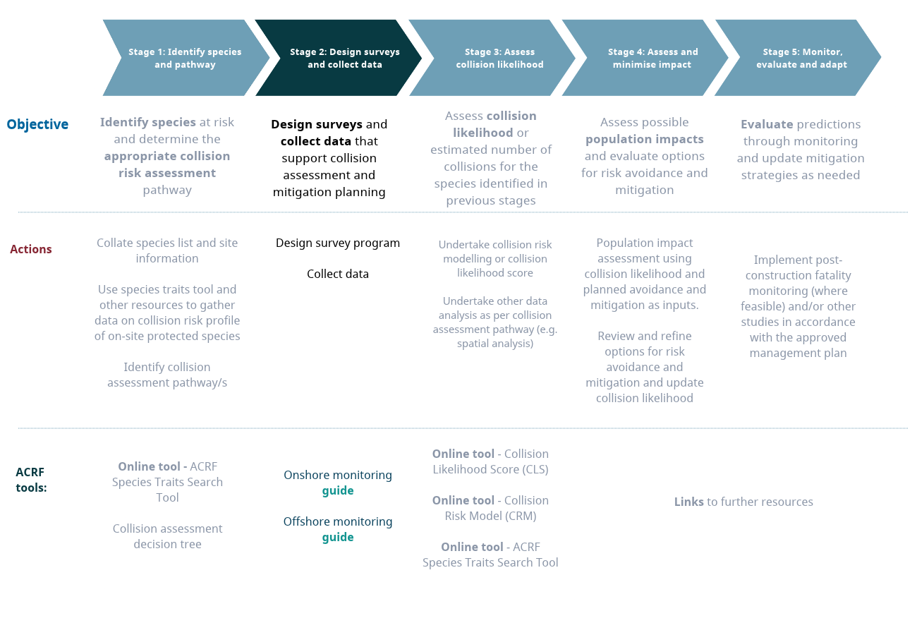
Stage 2: Design surveys and collect data

Stage 2: Design surveys and collect data

Design surveys and collect data that support collision assessment and mitigation planning

Objective and scope

Stage 2 translates the species, site and collision likelihood assessment pathway information established in Stage 1 into a targeted and proportionate survey program designed to generate the evidence required for collision assessment and mitigation planning.

Key questions: How should surveys be designed to generate robust evidence for the selected collision likelihood assessment pathway? Are the data sufficient in quality, coverage and quantity to support the assessment? Are additional targeted studies or analyses required to address information gaps or inform mitigation?

Spatial scope: Site and relevant surrounding area.

Project timing: Survey design should be completed before field deployment. Data collection should be reviewed iteratively to ensure that it remains aligned with the selected assessment pathway, seasonal activity patterns and emerging information needs.

Key Activities:

  • Design and implement a proportionate survey program aligned with the selected collision likelihood assessment pathway.
  • Review data quality and completeness throughout the survey program against the evidence requirements for the selected pathway.
  • Refine the assessment approach if new information materially changes data availability, uncertainty or the suitability of the selected collision likelihood assessment pathway.
  • Outputs:

  • Survey program: Documented survey design, including methods, sampling strategy, spatial and temporal coverage, survey effort, and justification for method selection against the Stage 1 evidence requirements.
  • Survey data: Survey datasets and supporting information of sufficient quality and coverage to inform the collision likelihood assessment pathway for each relevant species or species group.
  • Data quality and completeness: Assessment of data quality, coverage, limitations, uncertainty and remaining information gaps, including any additional or modified survey effort undertaken to address these.
  • Assessment pathway and remaining requirements: Confirmation or refinement of the assessment pathway for each relevant species or species group, including the rationale for any changes, and identification of
  • Objective and scope
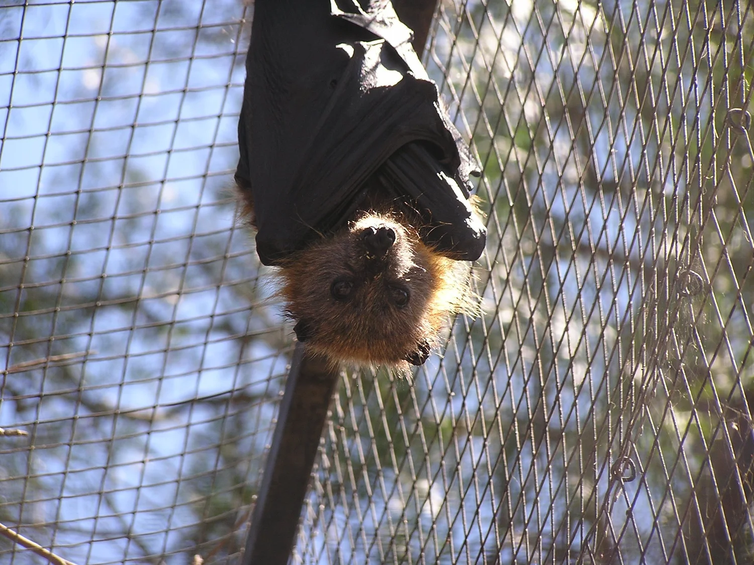
    Photo by Symbolix

    Documents

  • ACRF Guidance document provides detailed information to help navigate this stage and the ACRF as a whole
  • Onshore monitoring guide is a short reference document and checklist for proponents and consultants designing site-based studies for land-based wind farm sites.
  • Offshore monitoring guide is a short reference document and checklist for proponents and consultants designing site-based studies for offshore-based wind farm sites.
  • Documents
    Photo by Eco Aerial

    Third party resources

  • EPBC Act survey and assessment guidance – Commonwealth guidance relevant to survey design and environmental assessment for protected matters.
  • Protected Matters Search Tool (PMST) – Provides information on protected matters that may occur in and around the project area and can help inform survey planning.
  • Species Profile and Threats Database (SPRAT) – Provides species-specific information, including habitat, distribution, conservation status and recovery objectives, that may inform survey requirements.
  • Third party resources
    Photo by Mimadeo